Approaching Tofts Road junction on A169
Introduction
The photograph on this page of Approaching Tofts Road junction on A169 by Martin Dawes as part of the Geograph project.
The Geograph project started in 2005 with the aim of publishing, organising and preserving representative images for every square kilometre of Great Britain, Ireland and the Isle of Man.

There are currently over 7.5m images from over 14,400 individuals and you can help contribute to the project by visiting https://www.geograph.org.uk
Approaching Tofts Road junction on A169
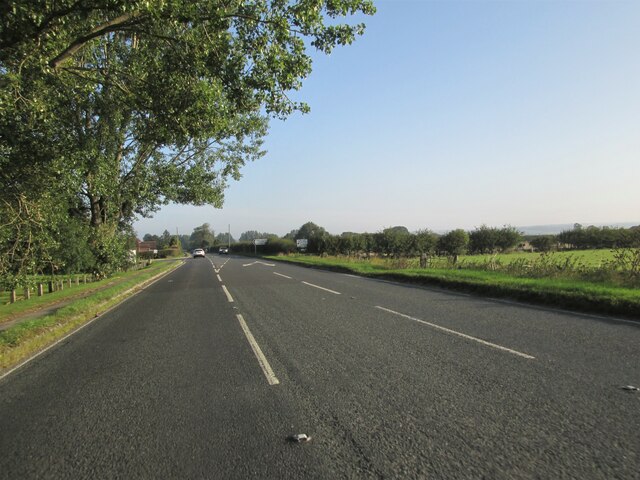
Image: © Martin Dawes Taken: 21 Sep 2020
The flat "Carr" land lays between the East Yorkshire Wolds to the south and the North York Moors to the north, they can be seen on the skyline to the right. This carr land was Lake Pickering during the Ice Age. Today you can walk the Lake Pickering Circuit at 155 miles it is not an easy task, but it can be split into 36 separate circular walks ranging from 6 miles to 14 miles. The guide book is, Exploring Lake Pickering by John E. Eckersley. Well worth purchasing for the wealth of information in it even if you never do the full walk.
Images are licensed for reuse under creativecommons.org/licenses/by-sa/2.0
Image Location
Latitude
54.213868
Longitude
-0.770771