Oxford Canal in Banbury, looking north
Introduction
The photograph on this page of Oxford Canal in Banbury, looking north by Nick Barber as part of the Geograph project.
The Geograph project started in 2005 with the aim of publishing, organising and preserving representative images for every square kilometre of Great Britain, Ireland and the Isle of Man.

There are currently over 7.5m images from over 14,400 individuals and you can help contribute to the project by visiting https://www.geograph.org.uk
Oxford Canal in Banbury, looking north
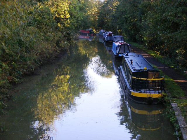
Image: © Nick Barber Taken: 9 Oct 2020
The Oxford Canal is among the earliest of cuts in the canal age. It was initially designed by James Brindley, succeeded by Samuel Simcock and Robert Whitworth after Brindley's untimely death in 1772 at the age of 56. It was opened in sections between 1774 and 1790 with the purpose of bringing coal from the Coventry coalfields to Oxford and the River Thames. The canal formed part of Brindley's grand plan for a waterway 'cross' linking the rivers Thames, Mersey, Trent and Severn.(canalrivertrust.org.uk)
Images are licensed for reuse under creativecommons.org/licenses/by-sa/2.0
Image Location
Latitude
52.069093
Longitude
-1.334858