National Cycle Network signpost, Stonehouse
Introduction
The photograph on this page of National Cycle Network signpost, Stonehouse by Mr Red as part of the Geograph project.
The Geograph project started in 2005 with the aim of publishing, organising and preserving representative images for every square kilometre of Great Britain, Ireland and the Isle of Man.

There are currently over 7.5m images from over 14,400 individuals and you can help contribute to the project by visiting https://www.geograph.org.uk
National Cycle Network signpost, Stonehouse
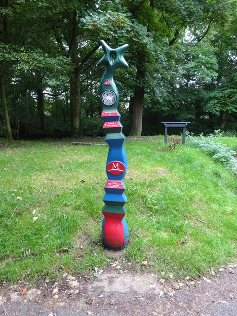
Image: © Mr Red Taken: 7 Sep 2020
Technically in the parish of Eastington. Alongside the Stroudwater (canal). On an old part of the Bristol Rd, A419. Route 45. For this & milestones in the area see http://umap.openstreetmap.fr/en/map/stonehouse-milestones_519080#14/51.7521/-2.2960 Millennium Time Trail ID: MP692 see http://umap.openstreetmap.fr/en/map/sustrans-mileposts_71773#14/51.7501/-2.3065
Images are licensed for reuse under creativecommons.org/licenses/by-sa/2.0
Image Location
Latitude
51.752914
Longitude
-2.312962