Poultry houses at Maidenhill
Introduction
The photograph on this page of Poultry houses at Maidenhill by Oliver Dixon as part of the Geograph project.
The Geograph project started in 2005 with the aim of publishing, organising and preserving representative images for every square kilometre of Great Britain, Ireland and the Isle of Man.

There are currently over 7.5m images from over 14,400 individuals and you can help contribute to the project by visiting https://www.geograph.org.uk
Poultry houses at Maidenhill
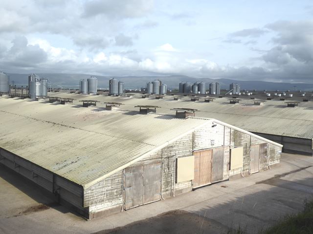
Image: © Oliver Dixon Taken: 7 Oct 2020
Part of the huge poultry enterprise of AJ Forster Ltd. See also Image In the distance beyond the Eden valley is the North Pennine escarpment, with Cross Fell Image central and prominent.
Images are licensed for reuse under creativecommons.org/licenses/by-sa/2.0
Image Location
Latitude
54.689372
Longitude
-2.733101