The circular pinfold in Norwell
Introduction
The photograph on this page of The circular pinfold in Norwell by Neil Theasby as part of the Geograph project.
The Geograph project started in 2005 with the aim of publishing, organising and preserving representative images for every square kilometre of Great Britain, Ireland and the Isle of Man.

There are currently over 7.5m images from over 14,400 individuals and you can help contribute to the project by visiting https://www.geograph.org.uk
The circular pinfold in Norwell
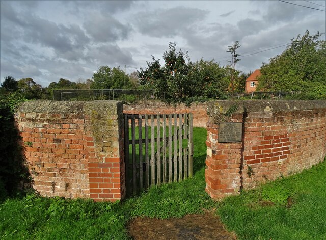
Image: © Neil Theasby Taken: 7 Oct 2020
This brick pinfold was built around 1830 to replace an earlier wooden pinfold. I know this because that is what the plaque explains. See https://www.geograph.org.uk/photo/4512798
Images are licensed for reuse under creativecommons.org/licenses/by-sa/2.0
Image Location
Latitude
53.14564
Longitude
-0.851272