Tilly's House, Tilly's Lane, Staines
Introduction
The photograph on this page of Tilly's House, Tilly's Lane, Staines by Sean Davis as part of the Geograph project.
The Geograph project started in 2005 with the aim of publishing, organising and preserving representative images for every square kilometre of Great Britain, Ireland and the Isle of Man.

There are currently over 7.5m images from over 14,400 individuals and you can help contribute to the project by visiting https://www.geograph.org.uk
Tilly's House, Tilly's Lane, Staines
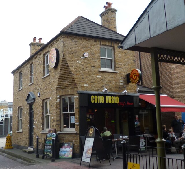
Image: © Sean Davis Taken: 17 Sep 2012
Tilly’s Lane is named after a 19th century barber. Tilly's House is half way along, on the right, and is now a cafe. With the redevelopment on the High Street and the building of Two Rivers Shopping Centre, Tilly's Lane was widened and the house was preserved by taking it down brick by brick and rebuilding it where it now sits. Excavations here, at the time, revealed Romano-British settlement established in the second half of the 1st century AD, soon after the Roman invasion of Britain in 43 AD.
Images are licensed for reuse under creativecommons.org/licenses/by-sa/2.0
Image Location
Latitude
51.434203
Longitude
-0.512013