Gill Beck, Horsforth and Rawdon
Introduction
The photograph on this page of Gill Beck, Horsforth and Rawdon by Rich Tea as part of the Geograph project.
The Geograph project started in 2005 with the aim of publishing, organising and preserving representative images for every square kilometre of Great Britain, Ireland and the Isle of Man.

There are currently over 7.5m images from over 14,400 individuals and you can help contribute to the project by visiting https://www.geograph.org.uk
Gill Beck, Horsforth and Rawdon
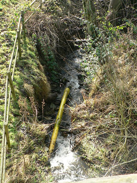
Image: © Rich Tea Taken: 19 Jan 2008
The beck forms the boundary between Horsforth and Rawdon. This picture looks down on at it from the south side of the bridge on Layton Road - see Image
Images are licensed for reuse under creativecommons.org/licenses/by-sa/2.0
Image Location


Leaflet Map data © OpenStreetMap
Latitude
53.848917
Longitude
-1.66039