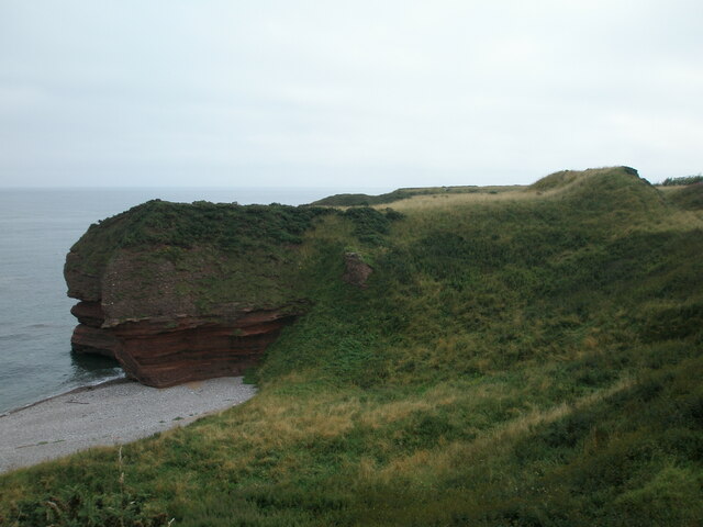
Maiden Castle sitting astride Masons' Cave
Introduction
The photograph on this page of Maiden Castle sitting astride Masons' Cave by Andrew Diack as part of the Geograph project.
The Geograph project started in 2005 with the aim of publishing, organising and preserving representative images for every square kilometre of Great Britain, Ireland and the Isle of Man.
There are currently over 7.5m images from over 14,400 individuals and you can help contribute to the project by visiting https://www.geograph.org.uk

Image: © Andrew Diack Taken: 19 Aug 2020
Maiden Castle was originally scheduled on the 30th December 1969 but this was later amended on the 5th March 2014 because the first documentation did not meet modern standards. The monument is of national importance because it has the potential to add significantly to our understanding of the construction, form and function of promontory forts in the Iron Age.

