Water level monitor beside Willow Brook at Romanby Bridge
Introduction
The photograph on this page of Water level monitor beside Willow Brook at Romanby Bridge by Luke Shaw as part of the Geograph project.
The Geograph project started in 2005 with the aim of publishing, organising and preserving representative images for every square kilometre of Great Britain, Ireland and the Isle of Man.

There are currently over 7.5m images from over 14,400 individuals and you can help contribute to the project by visiting https://www.geograph.org.uk
Water level monitor beside Willow Brook at Romanby Bridge
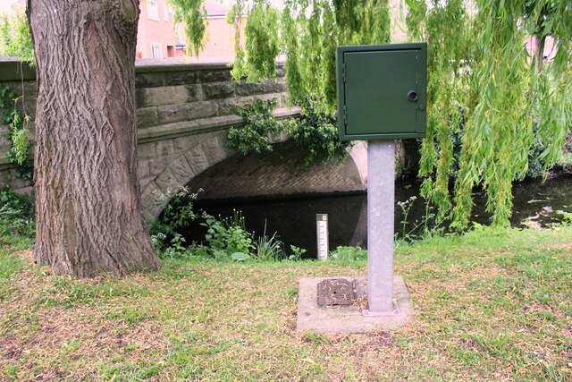
Image: © Luke Shaw Taken: 19 May 2019
There is an Environment Agency benchmark Image on the base of the level recorder
Images are licensed for reuse under creativecommons.org/licenses/by-sa/2.0
Image Location
Latitude
54.33617
Longitude
-1.450766