Pond on Hartsbourne Stream
Introduction
The photograph on this page of Pond on Hartsbourne Stream by Robin Webster as part of the Geograph project.
The Geograph project started in 2005 with the aim of publishing, organising and preserving representative images for every square kilometre of Great Britain, Ireland and the Isle of Man.

There are currently over 7.5m images from over 14,400 individuals and you can help contribute to the project by visiting https://www.geograph.org.uk
Pond on Hartsbourne Stream
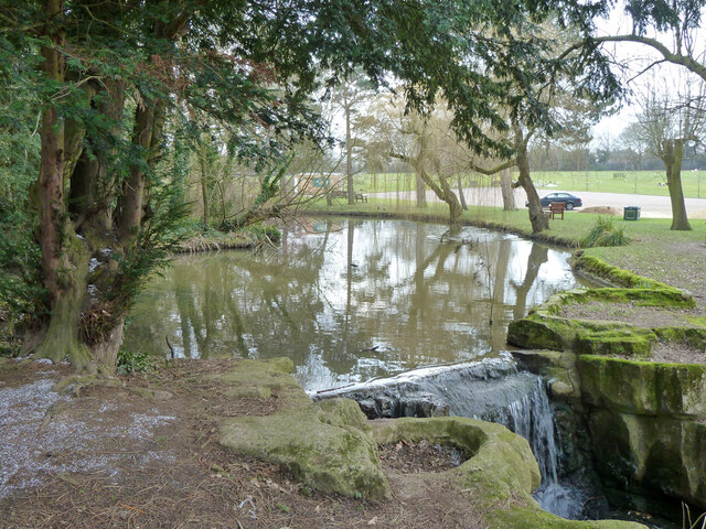
Image: © Robin Webster Taken: 23 Feb 2013
In the landscaped area along the stream called 'Woodwalks', formerly part of the grounds of the old Carpenders Park house, now within the bounds of Carpenders Park Lawn Cemetery.
Images are licensed for reuse under creativecommons.org/licenses/by-sa/2.0
Image Location
Latitude
51.625108
Longitude
-0.37519