Prepared field near Brickyard Cottages
Introduction
The photograph on this page of Prepared field near Brickyard Cottages by Jonathan Thacker as part of the Geograph project.
The Geograph project started in 2005 with the aim of publishing, organising and preserving representative images for every square kilometre of Great Britain, Ireland and the Isle of Man.

There are currently over 7.5m images from over 14,400 individuals and you can help contribute to the project by visiting https://www.geograph.org.uk
Prepared field near Brickyard Cottages
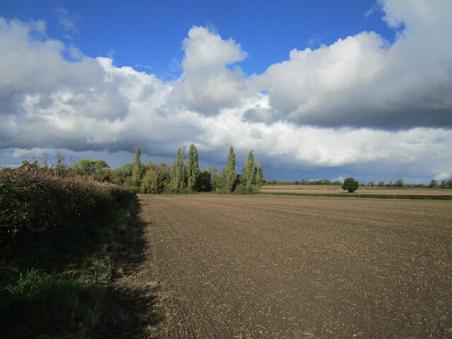
Image: © Jonathan Thacker Taken: 6 Oct 2020
The area of trees was the site of the brickyard and its associated pits.
Images are licensed for reuse under creativecommons.org/licenses/by-sa/2.0
Image Location
Latitude
53.125081
Longitude
-0.755578