Ridge Hill, Dartmouth
Introduction
The photograph on this page of Ridge Hill, Dartmouth by Derek Harper as part of the Geograph project.
The Geograph project started in 2005 with the aim of publishing, organising and preserving representative images for every square kilometre of Great Britain, Ireland and the Isle of Man.

There are currently over 7.5m images from over 14,400 individuals and you can help contribute to the project by visiting https://www.geograph.org.uk
Ridge Hill, Dartmouth
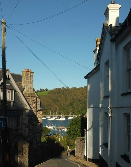
Image: © Derek Harper Taken: 27 Sep 2020
Dropping steeply towards Coronation Park and the Dart estuary. Much of the house on the left, "1866, by Thomas Lidstone" https://historicengland.org.uk/listing/the-list/list-entry/1297101 , was salvaged from merchants' houses.
Images are licensed for reuse under creativecommons.org/licenses/by-sa/2.0
Image Location
Latitude
50.354309
Longitude
-3.578396