Junction of Meadows Way and Beardsley Gardens
Introduction
The photograph on this page of Junction of Meadows Way and Beardsley Gardens by Luke Shaw as part of the Geograph project.
The Geograph project started in 2005 with the aim of publishing, organising and preserving representative images for every square kilometre of Great Britain, Ireland and the Isle of Man.

There are currently over 7.5m images from over 14,400 individuals and you can help contribute to the project by visiting https://www.geograph.org.uk
Junction of Meadows Way and Beardsley Gardens
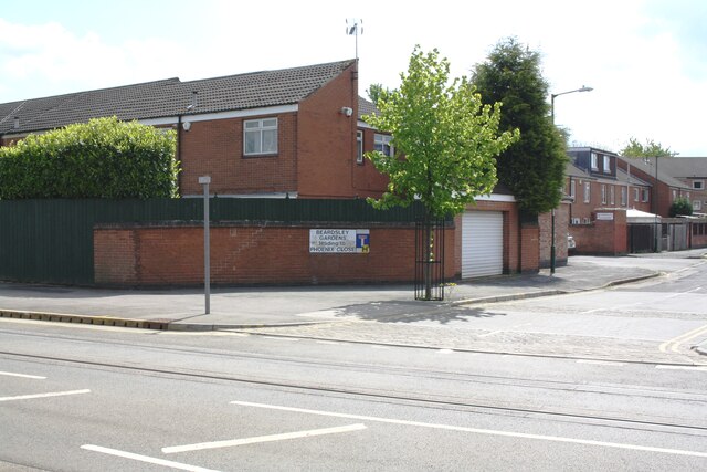
Image: © Luke Shaw Taken: 11 May 2019
There is an Ordnance Survey benchmark Image on the brick wall near the left hand edge of the image, just left of the wall angle
Images are licensed for reuse under creativecommons.org/licenses/by-sa/2.0
Image Location
Latitude
52.943061
Longitude
-1.157398