Marsh Harrier
Introduction
The photograph on this page of Marsh Harrier by Gordon Griffiths as part of the Geograph project.
The Geograph project started in 2005 with the aim of publishing, organising and preserving representative images for every square kilometre of Great Britain, Ireland and the Isle of Man.

There are currently over 7.5m images from over 14,400 individuals and you can help contribute to the project by visiting https://www.geograph.org.uk
Marsh Harrier
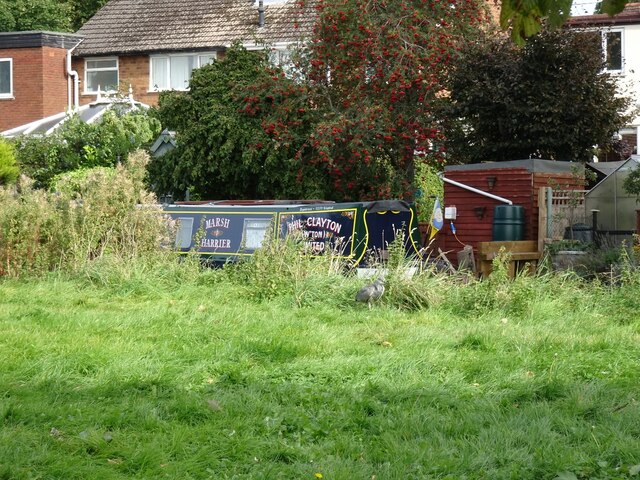
Image: © Gordon Griffiths Taken: 28 Sep 2020
The view over the Staffordshire and Worcestershire Canal near Marsh lane Bridge at Pendeford. A heron hides in the grass.
Images are licensed for reuse under creativecommons.org/licenses/by-sa/2.0
Image Location
Latitude
52.626117
Longitude
-2.139858