A reen near Goldcliff
Introduction
The photograph on this page of A reen near Goldcliff by Robin Drayton as part of the Geograph project.
The Geograph project started in 2005 with the aim of publishing, organising and preserving representative images for every square kilometre of Great Britain, Ireland and the Isle of Man.

There are currently over 7.5m images from over 14,400 individuals and you can help contribute to the project by visiting https://www.geograph.org.uk
A reen near Goldcliff
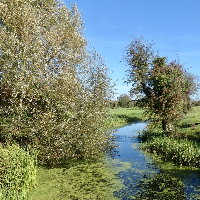
Image: © Robin Drayton Taken: 1 Oct 2020
By the approach to Goldcliff lagoons. This reen is a drainage channel on the Gwent Levels.
Images are licensed for reuse under creativecommons.org/licenses/by-sa/2.0
Image Location
Latitude
51.541733
Longitude
-2.910108