Boundary Stone, track, Upton St Leonards
Introduction
The photograph on this page of Boundary Stone, track, Upton St Leonards by Mr Red as part of the Geograph project.
The Geograph project started in 2005 with the aim of publishing, organising and preserving representative images for every square kilometre of Great Britain, Ireland and the Isle of Man.

There are currently over 7.5m images from over 14,400 individuals and you can help contribute to the project by visiting https://www.geograph.org.uk
Boundary Stone, track, Upton St Leonards
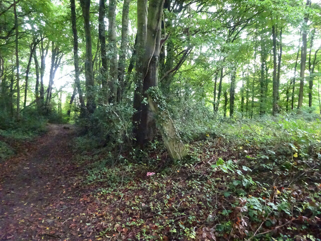
Image: © Mr Red Taken: 5 Oct 2020
track between Portway & the A46. Companion to other boundary stone see http://www.geograph.org.uk/photo/6627670 Milestone Society ID: GL_UPSTLE01bm
Images are licensed for reuse under creativecommons.org/licenses/by-sa/2.0
Image Location
Latitude
51.815626
Longitude
-2.174192