The Slitrig Water, Hawick
Introduction
The photograph on this page of The Slitrig Water, Hawick by Jim Barton as part of the Geograph project.
The Geograph project started in 2005 with the aim of publishing, organising and preserving representative images for every square kilometre of Great Britain, Ireland and the Isle of Man.

There are currently over 7.5m images from over 14,400 individuals and you can help contribute to the project by visiting https://www.geograph.org.uk
The Slitrig Water, Hawick
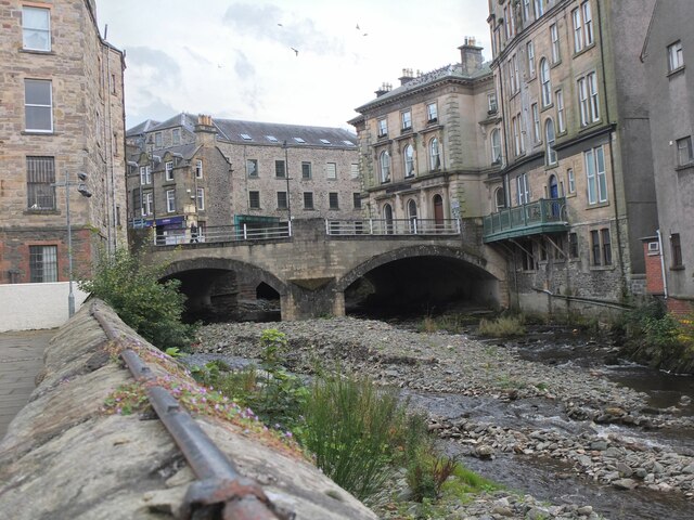
Image: © Jim Barton Taken: 2 Oct 2020
The Slitrig Water is channelled through the town and meets the River Teviot close by, out of shot to the right.
Images are licensed for reuse under creativecommons.org/licenses/by-sa/2.0
Image Location
Latitude
55.421412
Longitude
-2.788629