Towards junction of road to Swayfield and B1176
Introduction
The photograph on this page of Towards junction of road to Swayfield and B1176 by Andrew Tatlow as part of the Geograph project.
The Geograph project started in 2005 with the aim of publishing, organising and preserving representative images for every square kilometre of Great Britain, Ireland and the Isle of Man.

There are currently over 7.5m images from over 14,400 individuals and you can help contribute to the project by visiting https://www.geograph.org.uk
Towards junction of road to Swayfield and B1176
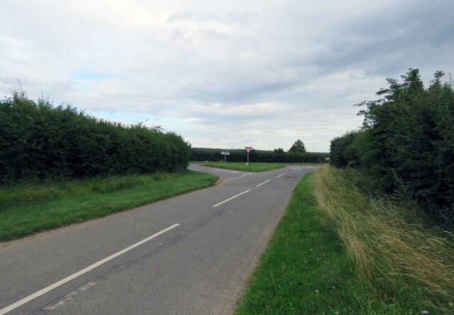
Image: © Andrew Tatlow Taken: 26 Jul 2020
The square boundary is just this side of the grass triangle. See Image for a closeup of the damp patch in the road near to the triangle.
Images are licensed for reuse under creativecommons.org/licenses/by-sa/2.0
Image Location
Latitude
52.797036
Longitude
-0.503486