Footbridge over the River Taw
Introduction
The photograph on this page of Footbridge over the River Taw by Matthew Hatton as part of the Geograph project.
The Geograph project started in 2005 with the aim of publishing, organising and preserving representative images for every square kilometre of Great Britain, Ireland and the Isle of Man.

There are currently over 7.5m images from over 14,400 individuals and you can help contribute to the project by visiting https://www.geograph.org.uk
Footbridge over the River Taw
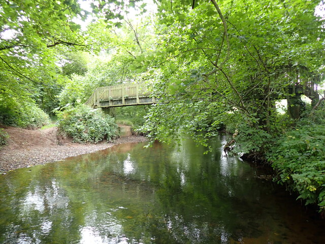
Image: © Matthew Hatton Taken: 8 Sep 2020
The river has been crossed here for hundreds of years and is known as Bailey's Ford. The roadway can be seen entering the water on the left bank to the side of the footbridge.
Images are licensed for reuse under creativecommons.org/licenses/by-sa/2.0
Image Location
Latitude
50.813403
Longitude
-3.91634