Titterton Cross
Introduction
The photograph on this page of Titterton Cross by Matthew Hatton as part of the Geograph project.
The Geograph project started in 2005 with the aim of publishing, organising and preserving representative images for every square kilometre of Great Britain, Ireland and the Isle of Man.

There are currently over 7.5m images from over 14,400 individuals and you can help contribute to the project by visiting https://www.geograph.org.uk
Titterton Cross
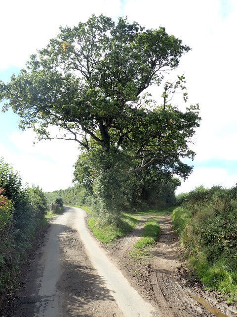
Image: © Matthew Hatton Taken: 8 Sep 2020
The road to the left leads to Lowton and Bondleigh and the trackway on the right leads to Clapperdown via a PROW, but originally led towards Millsome Castle, a 12thC motte and bailey.
Images are licensed for reuse under creativecommons.org/licenses/by-sa/2.0
Image Location
Latitude
50.82616
Longitude
-3.884062