Woodhouse Moor: boundary post
Introduction
The photograph on this page of Woodhouse Moor: boundary post by Stephen Craven as part of the Geograph project.
The Geograph project started in 2005 with the aim of publishing, organising and preserving representative images for every square kilometre of Great Britain, Ireland and the Isle of Man.

There are currently over 7.5m images from over 14,400 individuals and you can help contribute to the project by visiting https://www.geograph.org.uk
Woodhouse Moor: boundary post
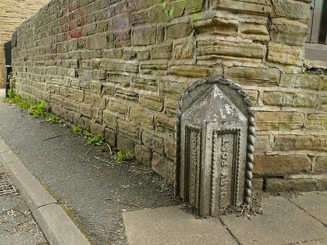
Image: © Stephen Craven Taken: 27 Sep 2020
A metal (probably cast iron) post at the north-west corner of the park. There is another one nearby still at its full height Image but I didn't see any more in a walk round the park although the 1908 map shows two more on Rampart Road.
Images are licensed for reuse under creativecommons.org/licenses/by-sa/2.0
Image Location
Latitude
53.814083
Longitude
-1.561648