The Walled Garden at Penrose
Introduction
The photograph on this page of The Walled Garden at Penrose by Des Blenkinsopp as part of the Geograph project.
The Geograph project started in 2005 with the aim of publishing, organising and preserving representative images for every square kilometre of Great Britain, Ireland and the Isle of Man.

There are currently over 7.5m images from over 14,400 individuals and you can help contribute to the project by visiting https://www.geograph.org.uk
The Walled Garden at Penrose
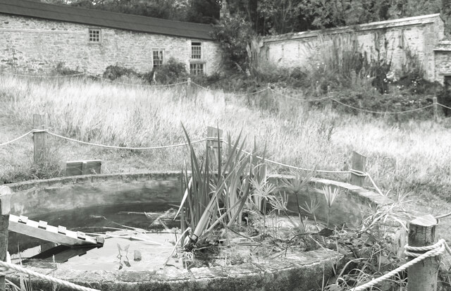
Image: © Des Blenkinsopp Taken: 28 Sep 2020
A corner of the old walled garden on the National Trust's Penrose estate. Unusually for the Trust, this place is in a fairly advanced state of neglect and dereliction. Perhaps they've only recently acquired it.
Images are licensed for reuse under creativecommons.org/licenses/by-sa/2.0
Image Location


Leaflet Map data © OpenStreetMap
Latitude
50.084316
Longitude
-5.298388