View South West along Flying Horse Road, Downpatrick
Introduction
The photograph on this page of View South West along Flying Horse Road, Downpatrick by Eric Jones as part of the Geograph project.
The Geograph project started in 2005 with the aim of publishing, organising and preserving representative images for every square kilometre of Great Britain, Ireland and the Isle of Man.

There are currently over 7.5m images from over 14,400 individuals and you can help contribute to the project by visiting https://www.geograph.org.uk
View South West along Flying Horse Road, Downpatrick
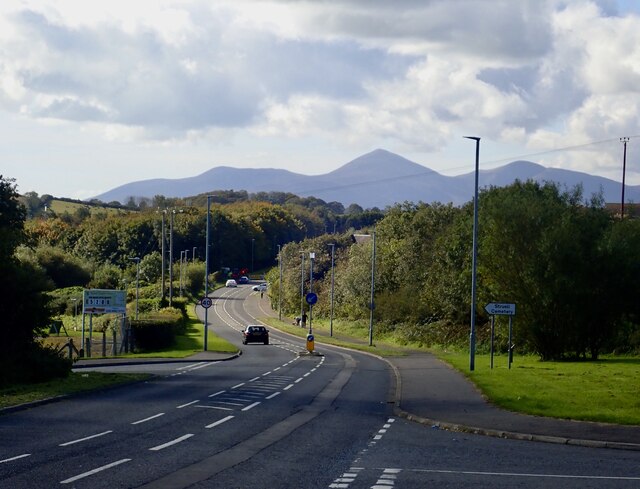
Image: © Eric Jones Taken: 1 Oct 2020
This urban fringe road affords an excellent view of the High Mournes. Slieve Donard, Ulster's highest mountain, is the pyramidical peak in the centre.
Images are licensed for reuse under creativecommons.org/licenses/by-sa/2.0
Image Location
Latitude
54.319318
Longitude
-5.701824