Kingston - Bus Station
Introduction
The photograph on this page of Kingston - Bus Station by Colin Smith as part of the Geograph project.
The Geograph project started in 2005 with the aim of publishing, organising and preserving representative images for every square kilometre of Great Britain, Ireland and the Isle of Man.

There are currently over 7.5m images from over 14,400 individuals and you can help contribute to the project by visiting https://www.geograph.org.uk
Kingston - Bus Station
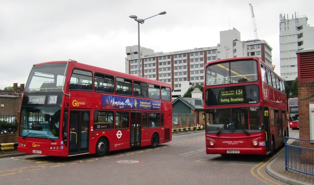
Image: © Colin Smith Taken: 8 Aug 2017
Kingston is a large local transport node for SW London - here with buses to Sutton (213) and to Tooting (131).
Images are licensed for reuse under creativecommons.org/licenses/by-sa/2.0
Image Location
Latitude
51.410475
Longitude
-0.299985