Looking along Lead Lane
Introduction
The photograph on this page of Looking along Lead Lane by Robert Graham as part of the Geograph project.
The Geograph project started in 2005 with the aim of publishing, organising and preserving representative images for every square kilometre of Great Britain, Ireland and the Isle of Man.

There are currently over 7.5m images from over 14,400 individuals and you can help contribute to the project by visiting https://www.geograph.org.uk
Looking along Lead Lane
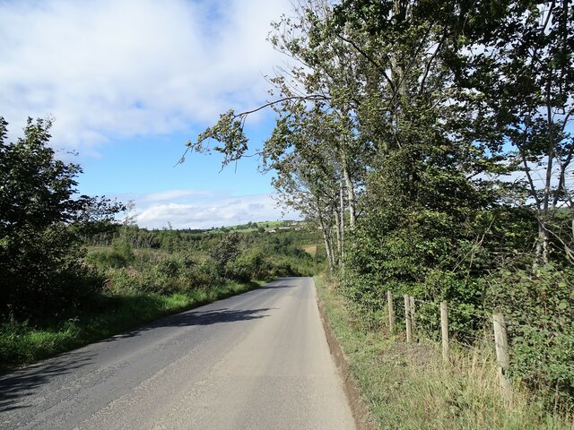
Image: © Robert Graham Taken: 8 Sep 2020
Looking north along the road to the point where it descends steeply downhill to the Mill Burn. Meirs Wood is on the left.
Images are licensed for reuse under creativecommons.org/licenses/by-sa/2.0
Image Location
Latitude
54.905924
Longitude
-1.856956