Fort William and Loch Linnhe
Introduction
The photograph on this page of Fort William and Loch Linnhe by Bill Kasman as part of the Geograph project.
The Geograph project started in 2005 with the aim of publishing, organising and preserving representative images for every square kilometre of Great Britain, Ireland and the Isle of Man.

There are currently over 7.5m images from over 14,400 individuals and you can help contribute to the project by visiting https://www.geograph.org.uk
Fort William and Loch Linnhe
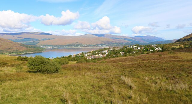
Image: © Bill Kasman Taken: 23 Sep 2020
Seen from Blarmachfoldach viewpoint on Lundavra Road.
Images are licensed for reuse under creativecommons.org/licenses/by-sa/2.0
Image Location
Latitude
56.80637
Longitude
-5.116792