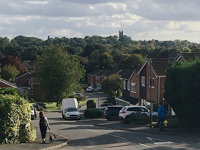
Knoll Drive, Woodloes Park, Warwick
Introduction
The photograph on this page of Knoll Drive, Woodloes Park, Warwick by Robin Stott as part of the Geograph project.
The Geograph project started in 2005 with the aim of publishing, organising and preserving representative images for every square kilometre of Great Britain, Ireland and the Isle of Man.
There are currently over 7.5m images from over 14,400 individuals and you can help contribute to the project by visiting https://www.geograph.org.uk

Image: © Robin Stott Taken: 1 Oct 2020
Warwick is a hill town, marked here by the tower of St Mary's Church on the skyline. This photo replicates the view in Image, the first geograph for this gridsquare, photographed in 2005 by David Stowell. David's estimated location is shown by current large-scale mapping as Kites Close but a visit made clear that it wasn't his viewpoint. Nearby Berwick Close appeared to be the place Image but a careful comparison ruled it out. Some time with Google Streetview identified the road as Knoll Drive. This photo is a cropped version of Image

