Molendinar Burn
Introduction
The photograph on this page of Molendinar Burn by Richard Sutcliffe as part of the Geograph project.
The Geograph project started in 2005 with the aim of publishing, organising and preserving representative images for every square kilometre of Great Britain, Ireland and the Isle of Man.

There are currently over 7.5m images from over 14,400 individuals and you can help contribute to the project by visiting https://www.geograph.org.uk
Molendinar Burn
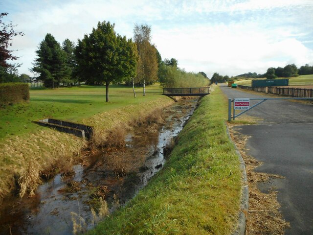
Image: © Richard Sutcliffe Taken: 29 Sep 2020
The burn flows from Frankfield Loch to Hogganfield Loch and then through Glasgow and on to the River Clyde. For most of its length, the burn is culverted. This section, although flowing in an un-natural straight channel, is one of the few places the burn can actually be seen.
Images are licensed for reuse under creativecommons.org/licenses/by-sa/2.0
Image Location
Latitude
55.882985
Longitude
-4.16168