Alliance Works, Preston
Introduction
The photograph on this page of Alliance Works, Preston by Chris Allen as part of the Geograph project.
The Geograph project started in 2005 with the aim of publishing, organising and preserving representative images for every square kilometre of Great Britain, Ireland and the Isle of Man.

There are currently over 7.5m images from over 14,400 individuals and you can help contribute to the project by visiting https://www.geograph.org.uk
Alliance Works, Preston
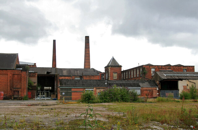
Image: © Chris Allen Taken: 1 Aug 2010
This has been demolished and there is a new housing development on the site. I have placed the subject marker where my previous position was and the photographer marker on Geoffrey Street as that lines up with the Centenary Mill chimney. This is what happens when you wait ten years to post - the aerial and streetview images have changed.
Images are licensed for reuse under creativecommons.org/licenses/by-sa/2.0
Image Location
Latitude
53.762606
Longitude
-2.682573