Houndean Bottom, near Lewes
Introduction
The photograph on this page of Houndean Bottom, near Lewes by Simon Carey as part of the Geograph project.
The Geograph project started in 2005 with the aim of publishing, organising and preserving representative images for every square kilometre of Great Britain, Ireland and the Isle of Man.

There are currently over 7.5m images from over 14,400 individuals and you can help contribute to the project by visiting https://www.geograph.org.uk
Houndean Bottom, near Lewes
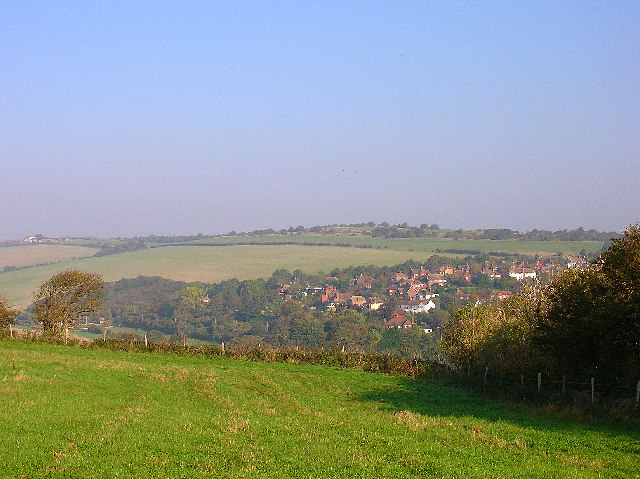
Image: © Simon Carey Taken: 16 Oct 2005
Taken from Juggs Road in the southern end of the square looking north. The dip in between conceals the A27 trunk road and railway. The square itself ends just after the clump of tree to the left.
Images are licensed for reuse under creativecommons.org/licenses/by-sa/2.0
Image Location


Leaflet Map data © OpenStreetMap
Latitude
50.869929
Longitude
-0.016002