Upper Warlingham station
Introduction
The photograph on this page of Upper Warlingham station by Dr Neil Clifton as part of the Geograph project.
The Geograph project started in 2005 with the aim of publishing, organising and preserving representative images for every square kilometre of Great Britain, Ireland and the Isle of Man.

There are currently over 7.5m images from over 14,400 individuals and you can help contribute to the project by visiting https://www.geograph.org.uk
Upper Warlingham station
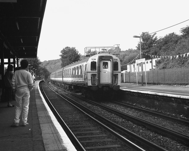
Image: © Dr Neil Clifton Taken: 27 Sep 1987
On the first day of electric services on the East Grinstead line, a '4-CIG' unit is seen on a Down working.
Images are licensed for reuse under creativecommons.org/licenses/by-sa/2.0
Image Location
Latitude
51.308026
Longitude
-0.077513