Listed buildings, Norwich Road, Whitton
Introduction
The photograph on this page of Listed buildings, Norwich Road, Whitton by Simon Mortimer as part of the Geograph project.
The Geograph project started in 2005 with the aim of publishing, organising and preserving representative images for every square kilometre of Great Britain, Ireland and the Isle of Man.

There are currently over 7.5m images from over 14,400 individuals and you can help contribute to the project by visiting https://www.geograph.org.uk
Listed buildings, Norwich Road, Whitton
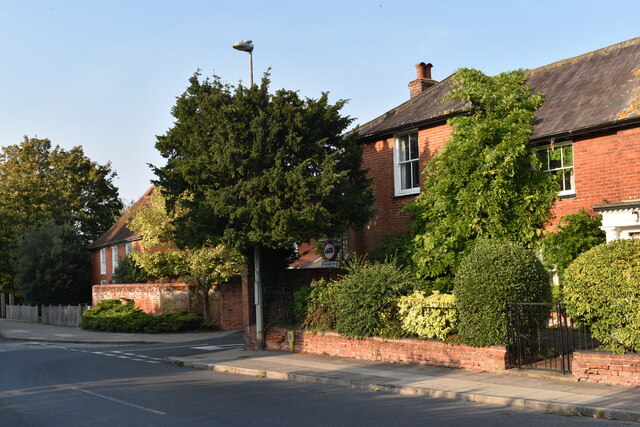
Image: © Simon Mortimer Taken: 11 Sep 2020
The house on the right is the early 19th Century Fairmeade, whilst on the left is the late 18th Century Street Farmhouse. Both are Grade II Listed Buildings. Whitton Church Lane separates the two houses.
Images are licensed for reuse under creativecommons.org/licenses/by-sa/2.0
Image Location
Latitude
52.085152
Longitude
1.123206