Halliwell Street
Introduction
The photograph on this page of Halliwell Street by Bryan Tenny as part of the Geograph project.
The Geograph project started in 2005 with the aim of publishing, organising and preserving representative images for every square kilometre of Great Britain, Ireland and the Isle of Man.

There are currently over 7.5m images from over 14,400 individuals and you can help contribute to the project by visiting https://www.geograph.org.uk
Halliwell Street
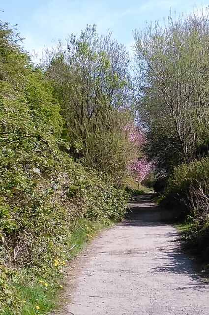
Image: © Bryan Tenny Taken: 17 Apr 2020
This road stretching from Bridge St to Uncouth Rd unmade up for much of its length has been closed to through traffic for a long time. The unmade up section is still open for pedestrians, cycles and as a bridleway. Encroaching vegetation has made it into a pleasant walk.
Images are licensed for reuse under creativecommons.org/licenses/by-sa/2.0
Image Location
Latitude
53.614125
Longitude
-2.113935