The Pavilion at Blubberhouses Cricket Club
Introduction
The photograph on this page of The Pavilion at Blubberhouses Cricket Club by Chris Heaton as part of the Geograph project.
The Geograph project started in 2005 with the aim of publishing, organising and preserving representative images for every square kilometre of Great Britain, Ireland and the Isle of Man.

There are currently over 7.5m images from over 14,400 individuals and you can help contribute to the project by visiting https://www.geograph.org.uk
The Pavilion at Blubberhouses Cricket Club
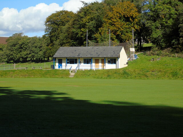
Image: © Chris Heaton Taken: 29 Sep 2020
Scenic cricket ground beside the River Washburn, with traditional wooden pavilion. Blubberhouses play in the Nidderdale and District League. Passed by the Six Dales Trail long distance footpath.
Images are licensed for reuse under creativecommons.org/licenses/by-sa/2.0
Image Location
Latitude
53.99563
Longitude
-1.746144