Horspath: Cuddesdon Road
Introduction
The photograph on this page of Horspath: Cuddesdon Road by Nigel Cox as part of the Geograph project.
The Geograph project started in 2005 with the aim of publishing, organising and preserving representative images for every square kilometre of Great Britain, Ireland and the Isle of Man.

There are currently over 7.5m images from over 14,400 individuals and you can help contribute to the project by visiting https://www.geograph.org.uk
Horspath: Cuddesdon Road
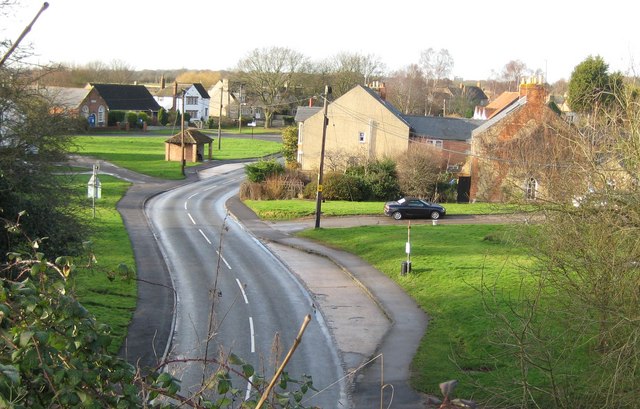
Image: © Nigel Cox Taken: 16 Jan 2008
Viewed looking W from the top of Image Geoff's Image is the leftmost visible building. The small building on the green is the bus shelter for travellers bound for Oxford.
Images are licensed for reuse under creativecommons.org/licenses/by-sa/2.0
Image Location


Leaflet Map data © OpenStreetMap
Latitude
51.737208
Longitude
-1.174503