Antrim coastline
Introduction
The photograph on this page of Antrim coastline by Gerald England as part of the Geograph project.
The Geograph project started in 2005 with the aim of publishing, organising and preserving representative images for every square kilometre of Great Britain, Ireland and the Isle of Man.

There are currently over 7.5m images from over 14,400 individuals and you can help contribute to the project by visiting https://www.geograph.org.uk
Antrim coastline
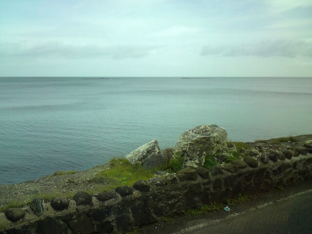
Image: © Gerald England Taken: 12 Sep 2020
A view from The Cloney on the A2 Antrim Coast Road between Glenarm and Carnlough.
Images are licensed for reuse under creativecommons.org/licenses/by-sa/2.0
Image Location
Latitude
54.980247
Longitude
-5.966959