Ashes Lane
Introduction
The photograph on this page of Ashes Lane by Bryan Tenny as part of the Geograph project.
The Geograph project started in 2005 with the aim of publishing, organising and preserving representative images for every square kilometre of Great Britain, Ireland and the Isle of Man.

There are currently over 7.5m images from over 14,400 individuals and you can help contribute to the project by visiting https://www.geograph.org.uk
Ashes Lane
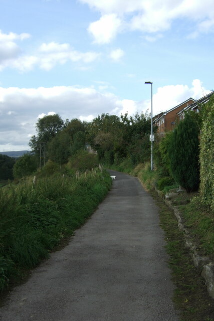
Image: © Bryan Tenny Taken: 29 Sep 2020
Ashes Lane is a mix of paved and unpaved surfaces leading from Kiln Lane down into the beal Valley where it joins an access road to the former Milnrow sewage works. Once past Ashes farm it becomes more of a path or bridleway with vegetation and trees encroaching from both sides.
Images are licensed for reuse under creativecommons.org/licenses/by-sa/2.0
Image Location
Latitude
53.613945
Longitude
-2.113632