Redhill, Stafford
Introduction
The photograph on this page of Redhill, Stafford by Stephen McKay as part of the Geograph project.
The Geograph project started in 2005 with the aim of publishing, organising and preserving representative images for every square kilometre of Great Britain, Ireland and the Isle of Man.

There are currently over 7.5m images from over 14,400 individuals and you can help contribute to the project by visiting https://www.geograph.org.uk
Redhill, Stafford
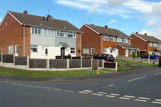
Image: © Stephen McKay Taken: 24 Sep 2020
Three semi-detached houses line the north side of Redhill at its junction with First Avenue in the Trinity Fields area of Stafford.
Images are licensed for reuse under creativecommons.org/licenses/by-sa/2.0
Image Location
Latitude
52.827851
Longitude
-2.133382