Former railway trackbed
Introduction
The photograph on this page of Former railway trackbed by Alan Murray-Rust as part of the Geograph project.
The Geograph project started in 2005 with the aim of publishing, organising and preserving representative images for every square kilometre of Great Britain, Ireland and the Isle of Man.

There are currently over 7.5m images from over 14,400 individuals and you can help contribute to the project by visiting https://www.geograph.org.uk
Former railway trackbed
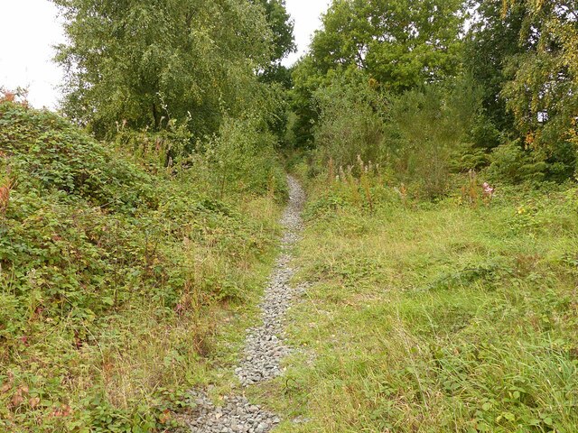
Image: © Alan Murray-Rust Taken: 27 Sep 2020
This was the branch line serving Calverton Colliery. There is clearly enough pedestrian use to keep a path clear, although it is a completely unofficial path.
Images are licensed for reuse under creativecommons.org/licenses/by-sa/2.0
Image Location
Latitude
53.061564
Longitude
-1.099131