Point no entry, Westbrook Lane, Horsforth
Introduction
The photograph on this page of Point no entry, Westbrook Lane, Horsforth by Stephen Craven as part of the Geograph project.
The Geograph project started in 2005 with the aim of publishing, organising and preserving representative images for every square kilometre of Great Britain, Ireland and the Isle of Man.

There are currently over 7.5m images from over 14,400 individuals and you can help contribute to the project by visiting https://www.geograph.org.uk
Point no entry, Westbrook Lane, Horsforth
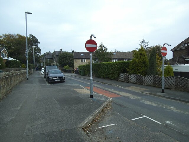
Image: © Stephen Craven Taken: 22 Sep 2020
Traffic heading out onto the main road (Brownberrie Lane) has to go the long way round via St Margaret's Road. Unusually for a student area there is no exception for bicycles.
Images are licensed for reuse under creativecommons.org/licenses/by-sa/2.0
Image Location
Latitude
53.84895
Longitude
-1.640782