Waterloo Place, Richmond
Introduction
The photograph on this page of Waterloo Place, Richmond by Stefan Czapski as part of the Geograph project.
The Geograph project started in 2005 with the aim of publishing, organising and preserving representative images for every square kilometre of Great Britain, Ireland and the Isle of Man.

There are currently over 7.5m images from over 14,400 individuals and you can help contribute to the project by visiting https://www.geograph.org.uk
Waterloo Place, Richmond
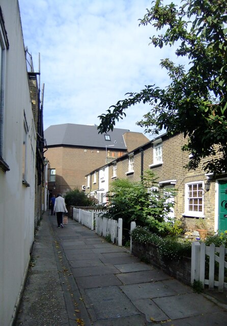
Image: © Stefan Czapski Taken: 22 Sep 2020
This little passageway provides a pedestrian short-cut between the Quadrant (and station) and Sheen Road. The name gives a fair clue to the date of the cottages - perhaps in the 1840s rather than in the years immediately after the battle. From a project carried out in my student days I can say that the street-plan of central Richmond has changed very little in the course of the last few centuries. The only major addition is Eton Street. On the other hand, in late Victorian times there was a campaign to remove humbler properties in the name of 'slum clearance'. (In some cases the passages where they stood have survived - for instance Paved Court). Photos of the lost dwellings can be seen in Richmond Library's local collection - most were timber-framed and much flimsier than the cottages in Waterloo Place.
Images are licensed for reuse under creativecommons.org/licenses/by-sa/2.0
Image Location
Latitude
51.461508
Longitude
-0.303128