New River, Hornsey
Introduction
The photograph on this page of New River, Hornsey by Danny P Robinson as part of the Geograph project.
The Geograph project started in 2005 with the aim of publishing, organising and preserving representative images for every square kilometre of Great Britain, Ireland and the Isle of Man.

There are currently over 7.5m images from over 14,400 individuals and you can help contribute to the project by visiting https://www.geograph.org.uk
New River, Hornsey
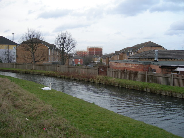
Image: © Danny P Robinson Taken: 13 Jan 2008
Looking across the river towards Denmark Road. The New River is actually an artificial watercourse, originally built in 1613 as a drinking water conduit to serve London. Here are a couple of links about it: http://en.wikipedia.org/wiki/New_River_(England) http://www.thameswater.co.uk/waterinschools/newriver/story.html
Images are licensed for reuse under creativecommons.org/licenses/by-sa/2.0
Image Location
Latitude
51.586699
Longitude
-0.110089