Fallen Sign
Introduction
The photograph on this page of Fallen Sign by David Lally as part of the Geograph project.
The Geograph project started in 2005 with the aim of publishing, organising and preserving representative images for every square kilometre of Great Britain, Ireland and the Isle of Man.

There are currently over 7.5m images from over 14,400 individuals and you can help contribute to the project by visiting https://www.geograph.org.uk
Fallen Sign
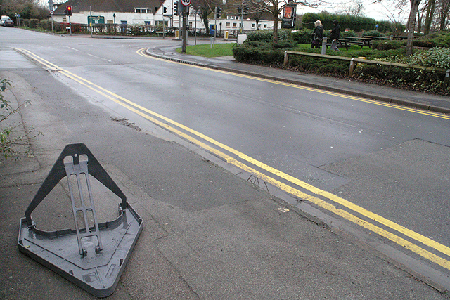
Image: © David Lally Taken: 18 Jan 2008
Finding these is becoming a bit of habit Image Looking down Meadow Lane towards the junction with Queens Road West, just out of the shot to the left is Image The white building straight ahead is the club house of the Chilwell Manor Golf Club.
Images are licensed for reuse under creativecommons.org/licenses/by-sa/2.0
Image Location
Latitude
52.918171
Longitude
-1.225106