Swingbridge Road northwards
Introduction
The photograph on this page of Swingbridge Road northwards by Andrew Tatlow as part of the Geograph project.
The Geograph project started in 2005 with the aim of publishing, organising and preserving representative images for every square kilometre of Great Britain, Ireland and the Isle of Man.

There are currently over 7.5m images from over 14,400 individuals and you can help contribute to the project by visiting https://www.geograph.org.uk
Swingbridge Road northwards
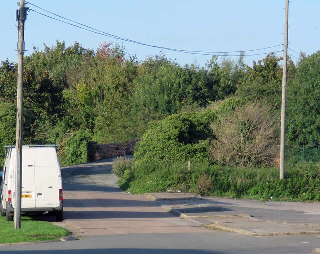
Image: © Andrew Tatlow Taken: 12 Sep 2020
The road crosses the canal using the bridge that is just visible in the next square. One assumes that it was once a swing bridge; research needed!
Images are licensed for reuse under creativecommons.org/licenses/by-sa/2.0
Image Location
Latitude
52.783991
Longitude
-1.218017