Signpost on the Hugh Paton path
Introduction
The photograph on this page of Signpost on the Hugh Paton path by Oliver Dixon as part of the Geograph project.
The Geograph project started in 2005 with the aim of publishing, organising and preserving representative images for every square kilometre of Great Britain, Ireland and the Isle of Man.

There are currently over 7.5m images from over 14,400 individuals and you can help contribute to the project by visiting https://www.geograph.org.uk
Signpost on the Hugh Paton path
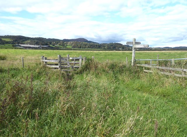
Image: © Oliver Dixon Taken: 25 Sep 2020
Hugh Paton was a community-spirited farmer who made possible the path which runs from Auchencairn to Red Haven and Torr Point. Torr Farm Image can be seen in the middle distance.
Images are licensed for reuse under creativecommons.org/licenses/by-sa/2.0
Image Location
Latitude
54.846931
Longitude
-3.864946