Huddersfield University
Introduction
The photograph on this page of Huddersfield University by Chris Allen as part of the Geograph project.
The Geograph project started in 2005 with the aim of publishing, organising and preserving representative images for every square kilometre of Great Britain, Ireland and the Isle of Man.

There are currently over 7.5m images from over 14,400 individuals and you can help contribute to the project by visiting https://www.geograph.org.uk
Huddersfield University
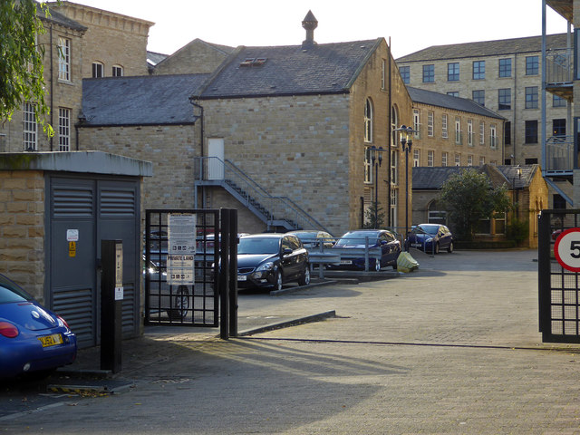
Image: © Chris Allen Taken: 2 Nov 2017
This is shown on the aerial view as the School of Computing and Engineering. It is in the former Commercial Mills that have a datestone of 1864. The tall building in the centre is almost certainly a former steam engine house.
Images are licensed for reuse under creativecommons.org/licenses/by-sa/2.0
Image Location
Latitude
53.640492
Longitude
-1.779588