View across B6412 from SW end of road to Staingills Farm
Introduction
The photograph on this page of View across B6412 from SW end of road to Staingills Farm by Roger Templeman as part of the Geograph project.
The Geograph project started in 2005 with the aim of publishing, organising and preserving representative images for every square kilometre of Great Britain, Ireland and the Isle of Man.

There are currently over 7.5m images from over 14,400 individuals and you can help contribute to the project by visiting https://www.geograph.org.uk
View across B6412 from SW end of road to Staingills Farm
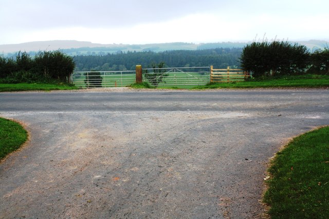
Image: © Roger Templeman Taken: 22 Sep 2020
Ordnance Survey documents indicate that in 1972 a benchmark was leveeled at 149.858m above Newlyn Datum on a gatepost at the far side of the road at this location
Images are licensed for reuse under creativecommons.org/licenses/by-sa/2.0
Image Location
Latitude
54.669893
Longitude
-2.633669