Lodge House
Introduction
The photograph on this page of Lodge House by Peter Trimming as part of the Geograph project.
The Geograph project started in 2005 with the aim of publishing, organising and preserving representative images for every square kilometre of Great Britain, Ireland and the Isle of Man.

There are currently over 7.5m images from over 14,400 individuals and you can help contribute to the project by visiting https://www.geograph.org.uk
Lodge House
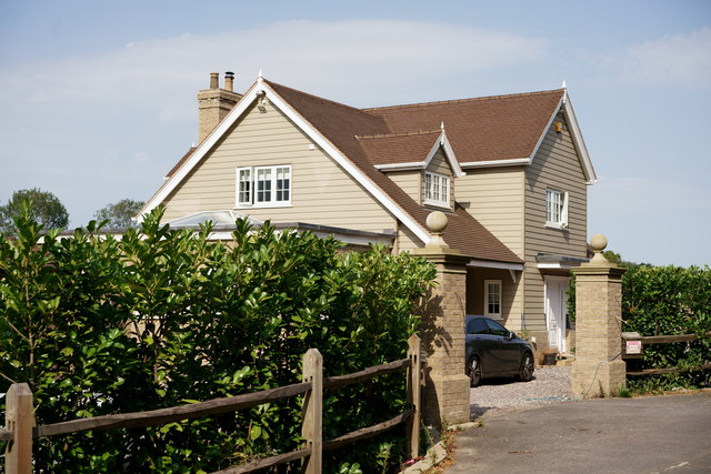
Image: © Peter Trimming Taken: 19 Sep 2020
Formerly the location of Fanny's Farm Shop. Whilst most of the out-buildings remain, the house has been replaced by a larger dwelling.
Images are licensed for reuse under creativecommons.org/licenses/by-sa/2.0
Image Location
Latitude
51.274355
Longitude
-0.170533