View west from Agincourt Road, 2020
Introduction
The photograph on this page of View west from Agincourt Road, 2020 by Jonathan Billinger as part of the Geograph project.
The Geograph project started in 2005 with the aim of publishing, organising and preserving representative images for every square kilometre of Great Britain, Ireland and the Isle of Man.

There are currently over 7.5m images from over 14,400 individuals and you can help contribute to the project by visiting https://www.geograph.org.uk
View west from Agincourt Road, 2020
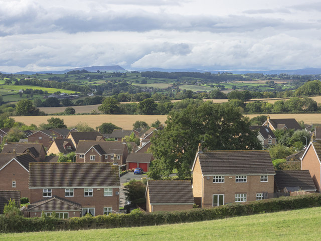
Image: © Jonathan Billinger Taken: 23 Sep 2020
An autumnal revisit to the same spot as in Image taken in August 2019. With some telephoto the outline of Skirrid with the very top of Sugarloaf can be seen as well as Pen y Gadair Fawr far right distance. The edge of Monmouth's Osbaston suburb in the foreground.
Images are licensed for reuse under creativecommons.org/licenses/by-sa/2.0
Image Location
Latitude
51.826306
Longitude
-2.716026