Information board, Glyndwr's Way
Introduction
The photograph on this page of Information board, Glyndwr's Way by Eirian Evans as part of the Geograph project.
The Geograph project started in 2005 with the aim of publishing, organising and preserving representative images for every square kilometre of Great Britain, Ireland and the Isle of Man.

There are currently over 7.5m images from over 14,400 individuals and you can help contribute to the project by visiting https://www.geograph.org.uk
Information board, Glyndwr's Way
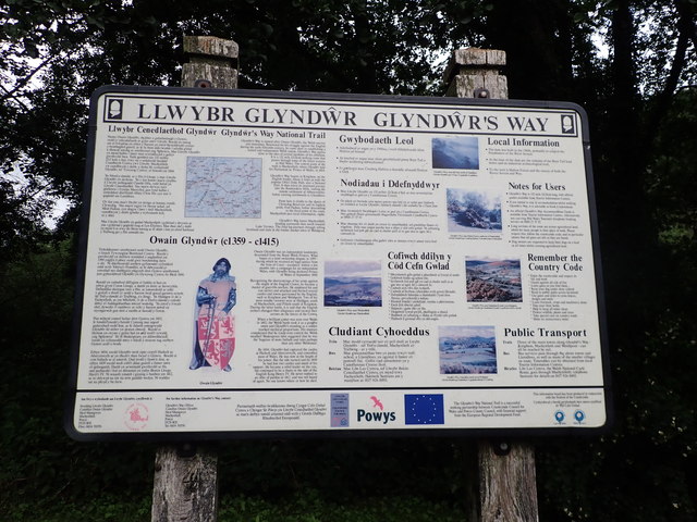
Image: © Eirian Evans Taken: 24 Aug 2020
A wealth of information about this National Trail at the parking area near Bryntail Lead Mines.
Images are licensed for reuse under creativecommons.org/licenses/by-sa/2.0
Image Location
Latitude
52.467662
Longitude
-3.600808